Our wetlands
A landscape of international importance, right on our doorstep.
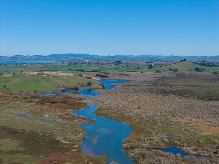
Lake Waikare and Whangamarino Wetland sit together in the lower Waikato — connected by water, history, infrastructure and community.
7,000 ha
Whangamarino Wetland — bogs, fens, swamps, rivers, open water
3,442 ha
Lake Waikare open water (Waikato Regional Council)
1989
Recognised under the Ramsar Convention
2nd largest
Freshwater wetland in the North Island (DOC)
Whangamarino
A mosaic you can’t find anywhere else nearby
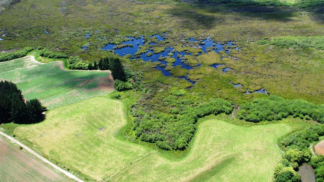
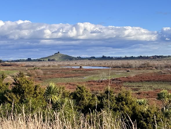
Whangamarino is a complex of peat bogs, fens, swamps, rivers and open water. That variety is exactly why it matters: different water depths, soils and vegetation support different species, including threatened native plants, fish and birds.
The Department of Conservation describes Whangamarino as one of New Zealand’s largest wetlands and, more precisely, the second-largest freshwater wetland in the North Island. Its 2026 assessment reports that ecological condition has deteriorated and calls for collaborative restoration action.
Whangamarino also forms part of the Lower Waikato flood-control system — which is why ecological restoration and resilient infrastructure have to be considered together.
Lake Waikare
The largest lake in the lower Waikato catchment
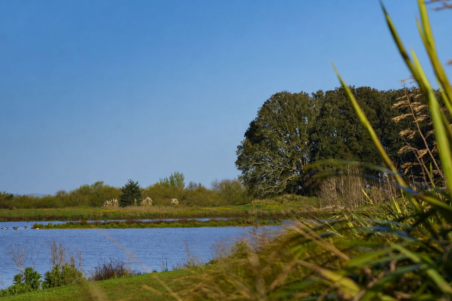
Lake Waikare is a large, shallow lake — 3,442 hectares of open water. It formed when a tributary of the Waikato River was blocked by pumice from the Taupō eruption, and for most of its life it was ringed by raupō, flax, sedges and kahikatea, with dense beds of native water plants below the surface.
Today its water quality is hypertrophic: highly enriched, highly turbid and dominated by algae rather than the aquatic plants that once held the sediment in place.
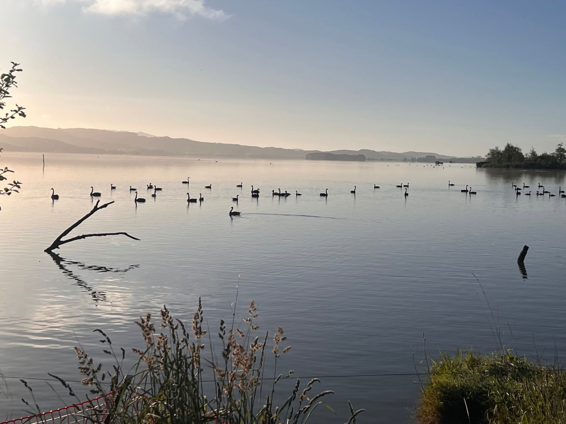
It is still a living lake — home to tuna, waterfowl, black swan and thousands of birds — and it is still recoverable. Improvement, not perfection, is the goal.
Life here
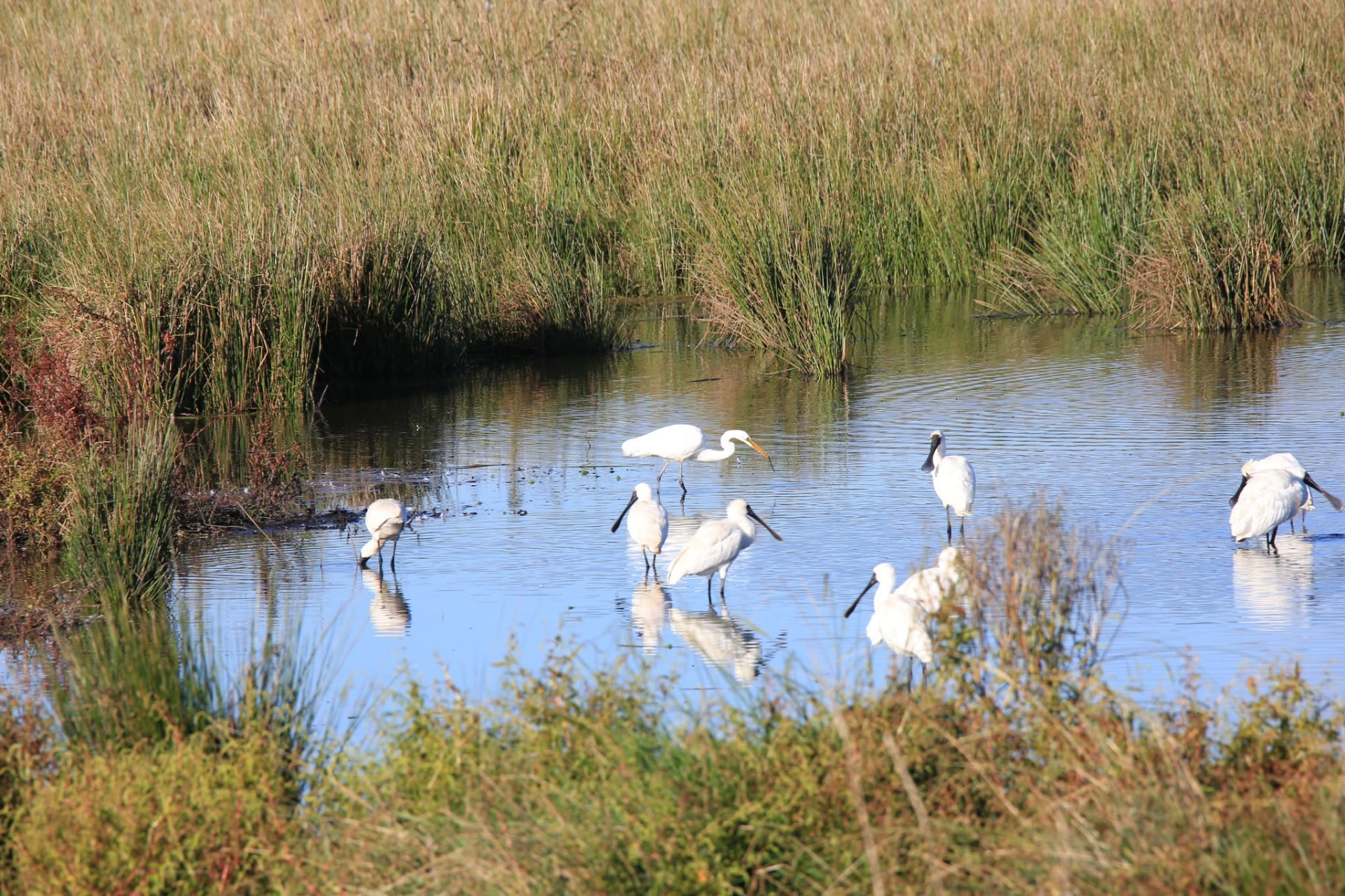
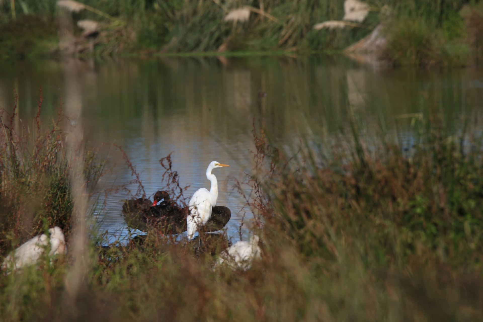
Birds, tuna and native plants — the reason all of this matters.
Protect the wetland and it keeps protecting us.